
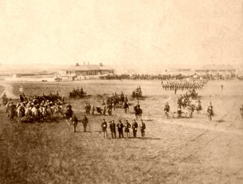
Fort Larned, Kansas Flag Retreat courtesy National Park Service.
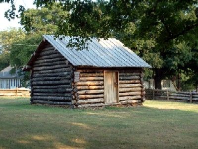
Chapman’s Dugout (Ottawa County)

Kansas Cavalry Unit.
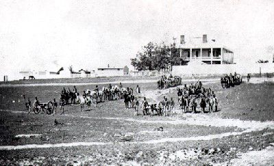
Fort Harker, Kansas by Alexander Gardner, 1867
Fort Insley
Fort Leavenworth, Kansas.
Fort Montgomery (Greenwood County)

Officer Row, Fort Scott, Kansas by Kathy Alexander.
Kansas had a few military forts before it became a territory in 1854. The French established Fort Cavagnial near what is now Fort Leavenworth. This was the first military post in what is now the state of Kansas. It operated from 1744 to 1764. By 1854, a handful of U.S. Army posts were in the state, most of which primarily protected travelers along several trails from Indian attacks.
Before the rush to settle the Kansas Territory, only a handful of U.S. Army posts existed. In June 1854, the Army only maintained Fort Atkinson, Fort Riley, and Fort Leavenworth. Fort Scott had been closed by this time. In the western three-fourths of the state, the Indians were hostile to whites.
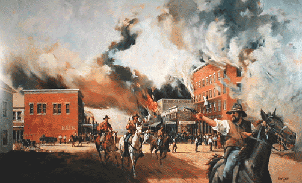
Border War between Missouri and Kansas.
During the Bleeding Kansas period, as settlers fought one another over whether the state would become a free or slave state, several semi-permanent Army camps were established to protect them from one another.
During the Civil War, Kansas had several permanent military camps, forts, and blockhouses. At least 27 were located across the state. These camps and forts shared some similarities but also many differences.
The forts in Civil War-era Kansas shared at least one similarity: All were maintained by the Union; no Confederate forts existed in the state. However, the differences among the forts were striking. Some forts were established by the regular Army to protect travelers and settlers against Indians. Forts Aubrey, Harker, Larned, Riley, and Dodge were among these.
Some forts established by the Army served as administrative headquarters in the chain of forts stretching across the West. Forts in this category in Kansas included the Camp Ewing complex outside Lawrence, as well as Forts Leavenworth, Riley, and Scott.
Fort Blair, Baxter Springs, Kansas.
A few forts established by the Army, including the relocated Fort Lincoln and Fort Blair, were built in part to protect Kansas residents from attacks by Confederate regular and guerrilla forces.
Most of the forts established by the Army were at times manned entirely by volunteer or militia forces raised to fight the Confederates.
Some Army forts had other functions. The original Fort Lincoln, established by Kansas Senator and militia General James H. Lane, was primarily used to house Confederate prisoners. At one point, Fort Zarah was unique among Army forts in that a large portion of its garrison consisted of former Confederates. These men were freed from prison camps on the condition that they join the Union forces and were sent West to fight Indians. Many forts served as post offices and as administrative centers for Indian agencies.
To make the history of these historic sites even more interesting, several of these old posts, including Forts Blair, Dodge, Hays, Leavenworth, Riley, and Scott, are said to be haunted.
©Kathy Alexander/Legends of America, updated June 2026.
Also See:
Haunted Forts & Battle Grounds
Sources:
American Forts
Historical Register and Dictionary of the United States Army, Volume 2, by Francis B. Heitman, Government Printing Office, 1903.
Kansas Historical Society
Wikipedia