
Fort Benton, Montana
By Kathy Alexander/Legends of America, updated February 2022.
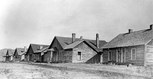
Officers’ Quarters at Fort Ellis, Montana 1886
Also See:
Fort Benton, Montana
By Kathy Alexander/Legends of America, updated February 2022.
Officers’ Quarters at Fort Ellis, Montana 1886
Also See: