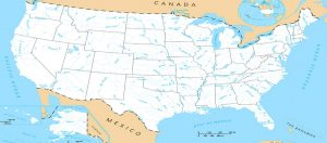
United States Rivers and Lakes Map. Click HERE for mini-poster print.
Big Blue River of Nebraska & Kansas
Blackstone River Valley National Heritage Corridor
History Along the Cimarron River
Kansas River – Explorations Beyond Missouri
Little Osage River of Kansas & Missouri
Medicine Lodge River of Kansas & Oklahoma
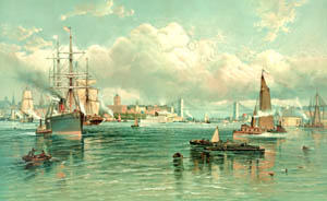
As the world’s leading maritime and trading nation, the United States relies on an efficient Maritime Transportation System to maintain its role as a global power. The Federal government’s involvement in navigation projects dates back to the early days of the United States when rivers and coastal harbors were the primary paths of commerce in the new country.
Waterways, defined as navigable rivers, canals, and lakes, cover maritime or inland transport routes. The inland waterways of the United States include more than 25,000 miles of navigable waters today.
People followed waterways, from canals to great rivers, to build businesses, communities, and new lives. In an era before widespread highways and railroads, the farms and industries of the Midwest poured their goods downriver to markets around the world. The boomtowns of the century — New Orleans, Louisiana; St. Louis, Missouri; Cincinnati, Ohio, and many others — thrived and grew on this waterborne commerce. Waterways were so valuable that the nation began building them, including numerous canals.
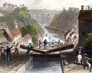
The Erie Canal was the nation’s most successful example. Built between 1817 and 1825, the canal linked Lake Erie to the Hudson River and New York City, bringing together goods and people across New York State and the far reaches of the Great Lakes. Area farms and industries benefited from the traffic on the canal, and New York City thrived in the 1800s partly because it was the leading market for the canal’s commerce.
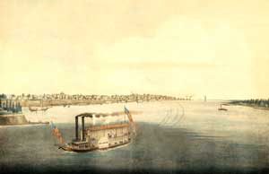
New Orleans was a seaport, a river port, and a vital connection between the American heartland and the rest of the world. By the 1820s, cotton, grain, pork, and other agricultural products floated down the Mississippi River to the city’s docks. The rise of the steamboat brought trade upriver and opened the Midwest to settlers and goods. By 1850, New Orleans was the second busiest port in the United States and the fourth largest in the world.
The Missouri River led explorers, trappers, and migrants into the American West. From the 1820s, the river was the starting point for tens of thousands of people looking for new lives along the California, Mormon, Oregon, and Santa Fe Trails.
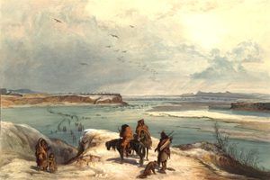
Many travelers on the Missouri River encountered the Hidatsa and Mandan peoples, who lived in villages along the river. They grew corn, beans, and tobacco and used the river for trade and travel. In the late 1840s, the town of Mua-iduskupe-hises, a Mandan term that means “like a fishhook,” had more residents than any nearby white settlement.
In the Far West, the U.S. Army chartered steamboats to supply outposts in Montana and the Dakota Territory during its Indian campaigns. In the summer of 1876, the Far West covered 700 miles of the Yellowstone and Missouri Rivers in only 54 hours. It bore the news of the Sioux and Cheyenne victory over General George Custer’s cavalry at the Battle of the Little Big Horn.
Federal interest in navigation stems from the Commerce Clause of the Constitution and subsequent Supreme Court decisions defining the Federal government’s authority to regulate commerce and navigation and to provide navigation improvements.
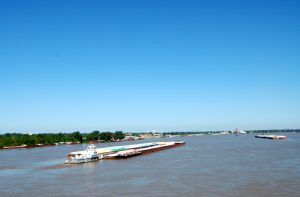
Today, navigable inland waterways are cost-effective for moving major bulk commodities like grain, coal, and petroleum. Inland navigation is a key element of State and local government economic development and job-creation efforts and is essential in maintaining economic competitiveness and national security.
The Federal agencies most directly involved in developing and operating the Nation’s navigation system are the U.S. Army Corps of Engineers and the U.S. Department of Transportation (DOT).
The inland waterway system carries one-sixth of the Nation’s volume of intercity cargo. Meanwhile, on the coasts and Great Lakes, the importance of maintaining channel depths at more than 900 feet deep and shallow draft harbor projects is underscored by estimates that nearly 25% of the nation’s economic activity depends on foreign trade handled by these ports.
©Kathy Alexander/Legends of America, updated January 2024.
Also See:
Sources:
Smithsonian National Museum of American History
U.S. Army Corps of Engineers
Wikipedia

