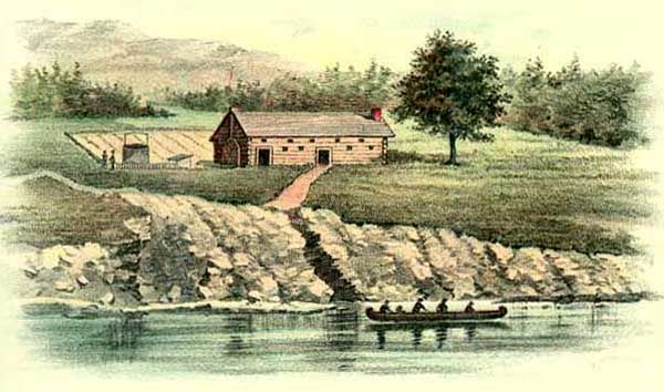
John Harris Homestead, 1720.
Frankstown Path, also called the Kittanning Trail, followed an old Indian Trail that connected Harris’ Ferry in present-day Harrisburg and Shannopin’s Town in present-day Pittsburgh, Pennsylvania.
In the early 1700s, the fur trade transformed Indian communities along the Pennsylvania frontier. Several communities sprang up in the area, including Assunepachla, Peshtank, Kittanning, and others. The route, which Native Americans first blazed, connected Harris’ Ferry in present-day Harrisburg and Shannopin’s Town in present-day Pittsburgh through Kittanning. The path was used by traders as early as 1721. In about 1725, John Harris established a ferry across the Susquehanna River near the Indian village of Peshtank in present-day Harrisburg. A local trader named Frank Stevens was among the first to have a post in the Indian village of Assunepachla on the Juniata River in 1734. Later, the village became known as Frankstown, and the route from Harrisburg was named Frankstown Path. The Kittanning Trail extended beyond Frankstown through the Kittanning Gap and up to Clearfield Creek to Loretto. It then ran through Ashville and Chesh Springs, past Carroltown, to Canoe Place (Cherry Tree), and into Indiana and Kittanning on the Allegheny River. Another trail extended west to the Venango and Logstown paths and into Ohio.
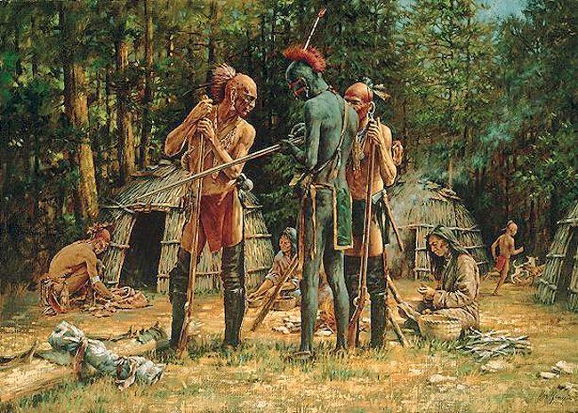
Lenape Indian Encampment.
In 1744, trader John Hart was granted a license to trade with Native Americans on western Pennsylvania lands closed to white settlement. Hart established a way station campsite called Hart’s Sleeping Place near the Continental Divide in Cambria County. The way station appeared on colonial maps and was used in 1752 by Governor James Hamilton and in 1754 by John Harris, the founder of Harrisburg. The last Native American encampment was recorded at the site in 1781.
In the 1750s, the Lenape tribe, unhappy with the treaty that had given away much of their land rights in western Pennsylvania, raided white settlements in central Pennsylvania. In 1755, the Lenape Chief Shingas used the trail to attack British settlements on the Juniata River, returning with prisoners to the village of Kittanning. In early August 1756, the Indians used the path to burn Fort Granville near present-day Lewistown and take prisoners. After the fort’s burning, the British dispatched Lieutenant Colonel John Armstrong, who pursued the Lenape along the path, camping at Canoe Place in early September before destroying the village of Kittanning. Armstrong earned the title “the Hero of Kittanning” for the raid and later served as a Major General in the American Revolution and served in the Second Continental Congress.
In 1758, portions of the trail were widened by the army led by British General John Forbes during his campaign against the French during the French and Indian War. The path fell into disuse in the 1780s and was abandoned. Today, a section of the original route is preserved in northwestern Cambria County near Eckenrode Mill east of Carrolltown.
©Kathy Alexander/Legends of America, updated November 2025.
Also See:
Tales & Trails of the American Frontier
See Sources.