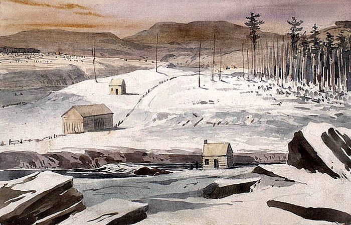
The boundary between Canada and Maine.
Fort Kent, Maine, was built during the bloodless Aroostook War of 1838-1839, a border dispute between Great Britain and the United States. This confrontation, sometimes called the Pork and Beans War, occurred when the military and civilians disagreed on the location of the international boundary between New Brunswick, Canada, and the U.S. state of Maine along the upper Saint John River.
No sooner had the 1783 Treaty of Paris been signed following the American Revolution than the border dispute began. Following the Jay Treaty of 1797, much of the eastern border had been fixed, but the upper area remained disputed. Citizens on both sides of the border began developing the area to solidify their claims, but this only heightened tensions on both sides. By the 1820s, authorities from both governments were acting against each other’s settlers and agents.
As the recurring dispute dragged on, war appeared on the horizon, and a series of forts were built along the southern banks of the Saint John River. A blockhouse was established at the present-day town of Fort Kent in 1838 by a Maine Civil Posse under the command of Captain Nye and later Captain Stover Rines. It was located at the confluence of the St. John River and the Fish River. The two-story blockhouse measured 23.5 feet square, with a second story with a 15-inch overhang on each side. The walls were built from cedar timbers, some 19 inches square, on a shale rock foundation. A powder magazine was built into the base of the structure.
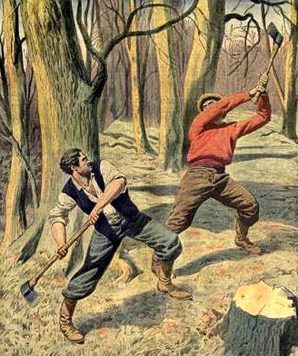
Civilians fighting during the Aroostook War.
In 1839, the arrest of a US government agent in New Brunswick prompted Congress to authorize the deployment of 50,000 federal troops to northern Maine. Soon, the civil posse garrison was replaced by U.S. troops under the command of Captain John Winder. The blockhouse was enlarged to include barracks, officers’ quarters, and other buildings and named for Maine Governor Edward Kent.
At some point, General Winfield Scott was sent to the area with the power to negotiate a settlement. Scott and New Brunswick Lieutenant Governor John Harvey, who had a long-established friendship, successfully reduced tensions until the Webster-Ashburton Treaty was negotiated in 1842. Now that the crisis had passed, US troops were removed in 1843, and the post was deactivated. It was officially abandoned in September 1845. The fort never saw any military action.
In 1857, the State of Maine became the owner of the land and was authorized to establish a park. However, this didn’t occur, and it was sold to a private individual in 1858. The property was returned to the state in 1891 but was neglected until 1959, when preservation efforts began. All structures except the blockhouse deteriorated or were removed during the intervening years. The fort was added to the National Register of Historic Places in 1969 and declared a National Historic Landmark in 1973.
Today, the Fort Kent State Historic Site is a Maine state park in Fort Kent, Maine. The blockhouse is the only surviving American fortification built during the border tensions of the Aroostook War.
The original log blockhouse is open to visitors in the summer. Today, the Fort Kent Historical Society maintains the building as a museum. Admission is free, but donations are accepted.
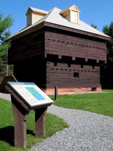
Fort Kent, Maine Blockhouse by the National Park Service
©Kathy Alexander/Legends of America, updated November 2025.
Also See:
Sources: