
United States Map. Click for 8.5 x 11 printing. Click HERE for mini-poster print.
Maps, while recognized as “the most important tool in geography” are also a popular and effective resource for teaching history and can extend into many other subjects including science and literature. Maps can particularly help visual learners who process information that they can see better than information that they hear or read. These graphics can give many students a greater chance of remembering information.
Our United States maps include both current and historical maps that can help teachers educate homeschoolers and students.
Many can be viewed, downloaded, and printed on standard 8.5 x 11 paper. They are also available as mini-poster maps for purchase.
“All you need is the plan, the road map, and the courage to press on to your destination.”
— Earl Nightingale
United States Current Maps (See Below)
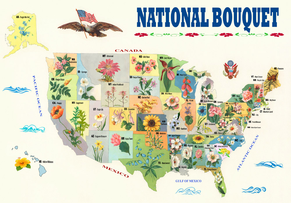
National Bouquet of the United States – State Flower Map. Click image for 8.5 x 11 printing. Click HERE for mini-poster print.
Current United States Maps:
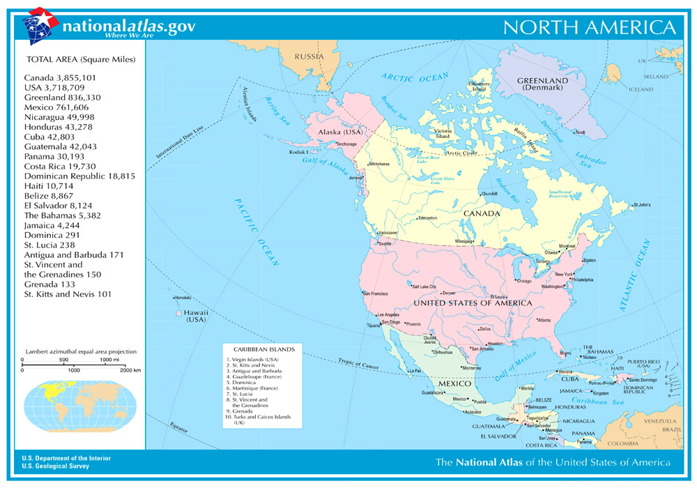
North America Map. Click for 8.5 x 11 printing. Click HERE for mini-poster print.

U.S. States & Territories. Click for 8.5 x 11 printing. Click HERE for mini poster print.

U.S. Rivers & Lakes. Click HERE for mini poster print.
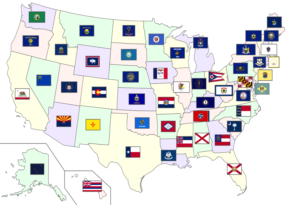
State Flags in the United States. Click map for 8.5 x 11 printing. Click HERE for mini-poster print.

State Capitals in the United States. Click map for 8.5 x 11 printing. Click HERE for mini-poster print.

U.S. Topography. Click for 8.5 x 11 printing. Click HERE for mini poster print.
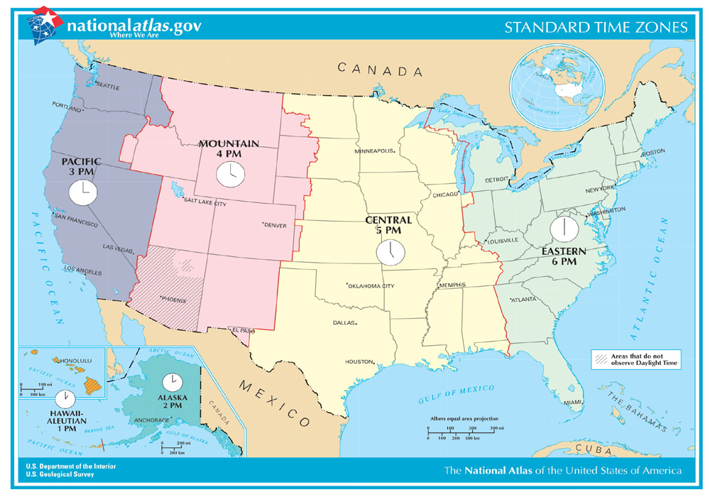
U.S. Time Zones. Click for 8.5 x 11 printing. Click HERE for mini poster print.
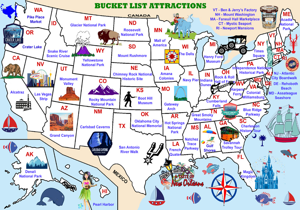
Bucket List for each State. Click for 8.5 x 11 print version. Click HERE for mini-poster print.
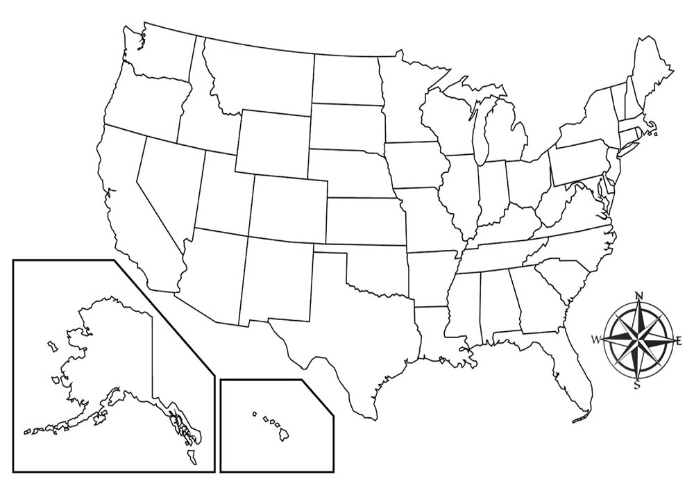
Blank U.S. Map with State Lines. Click map for 8.5 x 11 printing. Click HERE for mini poster print.
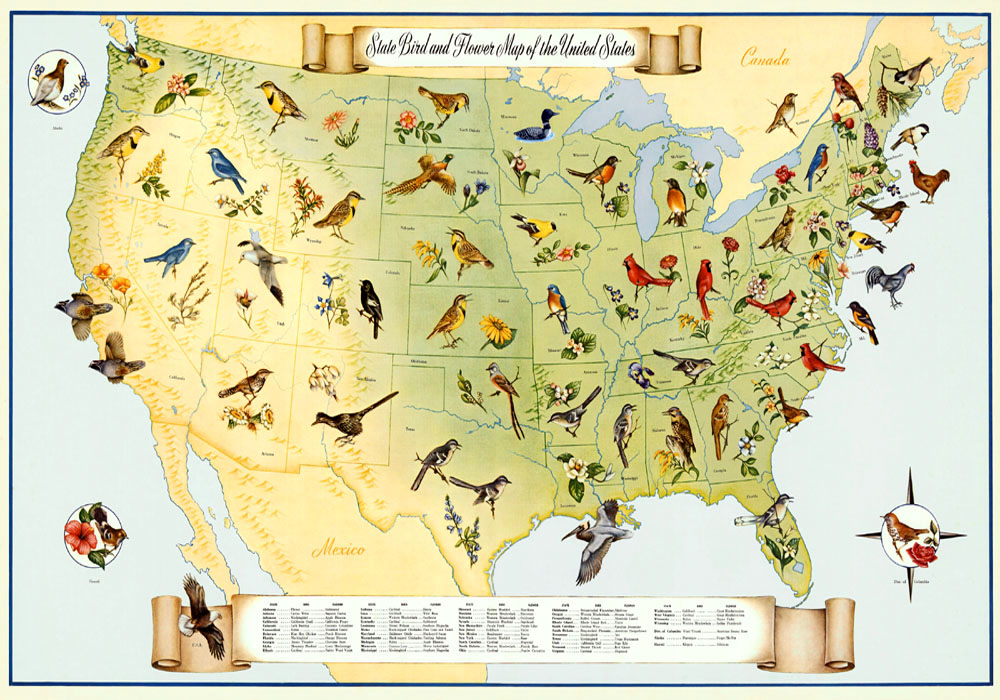
State Birds & Flowers by Fritz Hilton, 1965. Click map for 8.5 x 11 printing. Click HERE for mini poster print.

Bureau of Land Mangement Land. Click map for 8.5 x 11 printing. Click HERE for mini poster print.
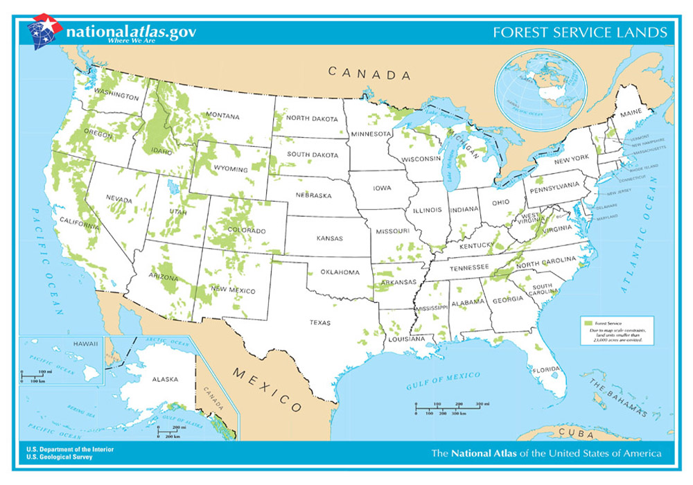
United States Forests Map. Click map for 8.5 x 11 printing. Click HERE for mini poster print.
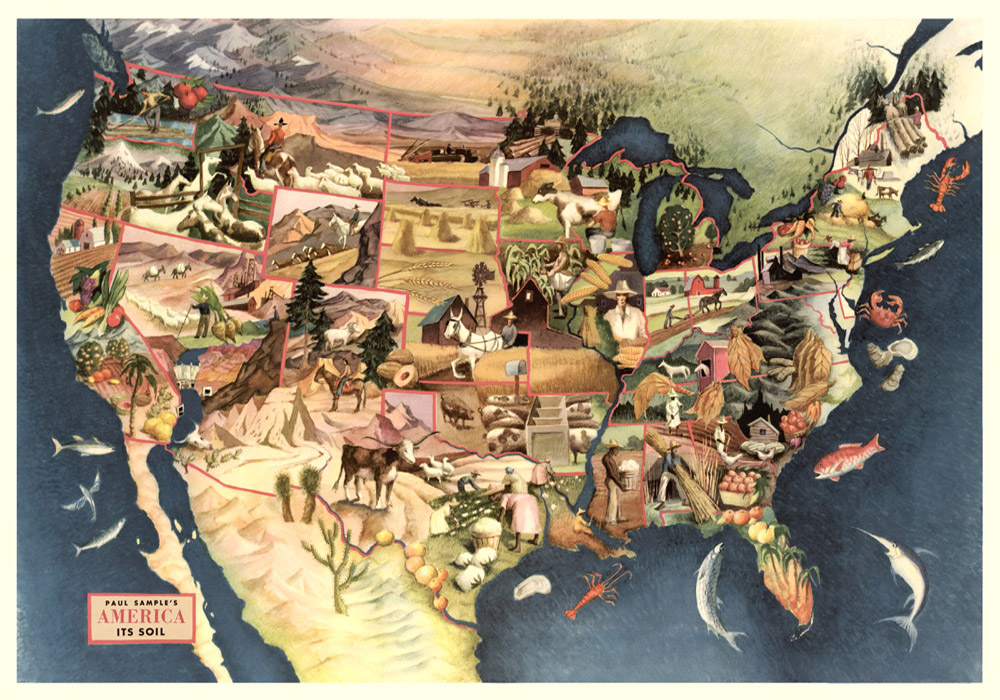
America’s Soil Map. Click map for 8.5 x 11 printing. Click HERE for mini poster print.
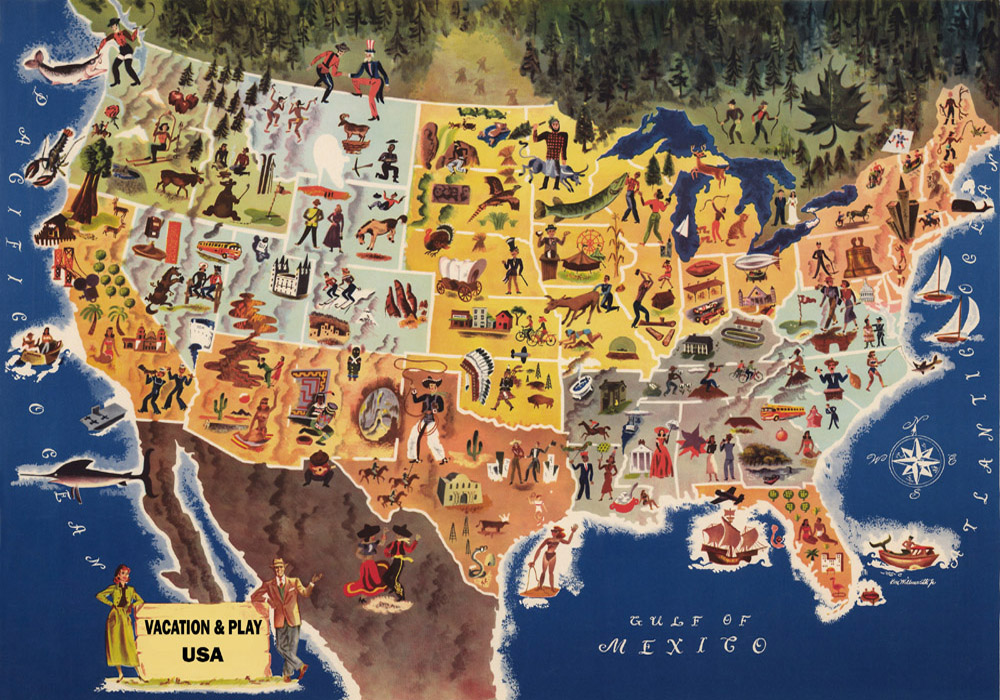
Vacation & Play Map. Click map for 8.5 x 11 printing. Click HERE for mini poster print.
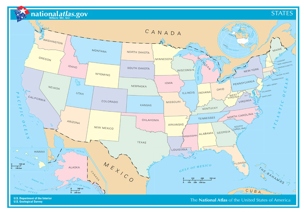
U.S. States National Atlas. Click map for 8.5 x 11 printing. Click HERE for mini poster print.
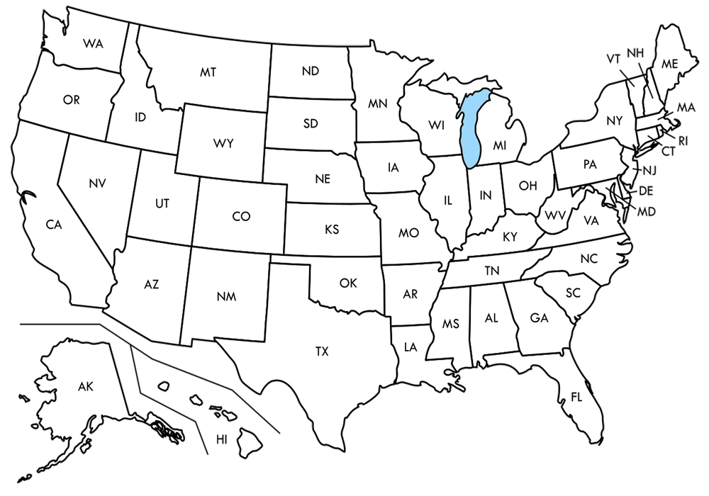
U.S. State Map. Click map for 8.5 x 11 printing. Click HERE for mini poster print.
Compiled by Kathy Alexander, updated January 2021..
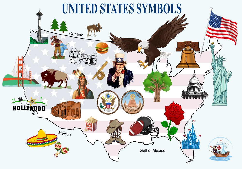
United States Symbols – Click for 8.5 x 11 printing. Click HERE for mini-poster print.
Also See: